Maps
The collection is of 41 individual maps. These maps are identical to
the tactical maps we were provided in Vietnam for every day field
operations. The scale is 1:50,000, most were printed in the mid 1980's
with mid 1970's information. They are printed by the U.S. government.
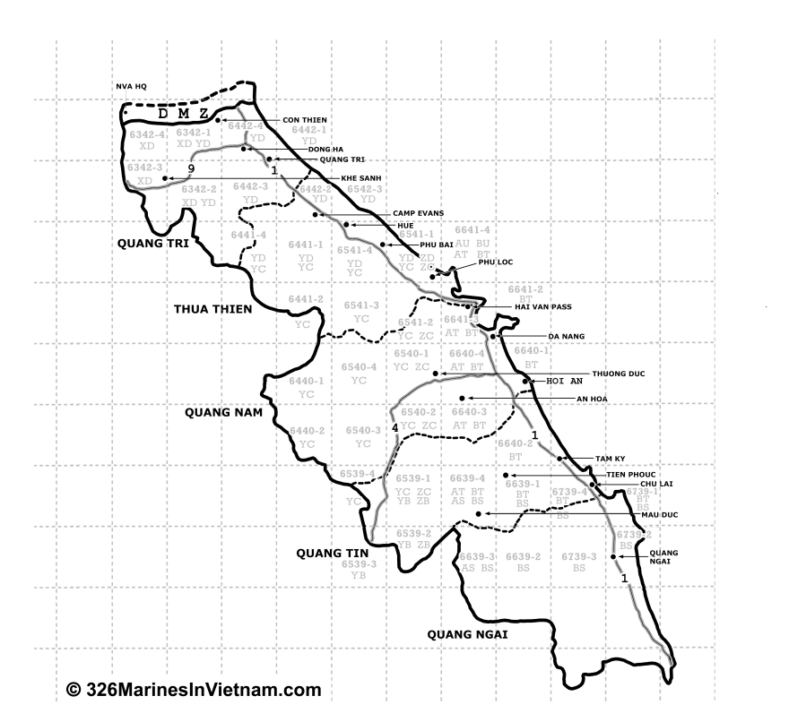
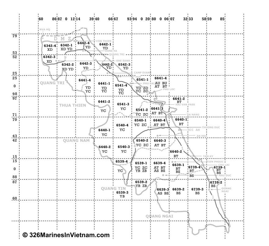
There are also maps, primarily of I Corps which show: the provinces,
the maps sheet numbers, and a chart that may help you find the right
map to locate a specific map grid you may be interested in.
Interactive I Corps Cities Map

Interactive I Corps Map – Sheets Map
